 BLUE MOUNTAINS – 15 September 2024
I was a little nervous about this multi pitch abseil trip (Malaita Walls). I’d done it twice before (maybe even more times because I don’t always record trips), but this time it was an SRT trip (single rope, not double rope that I’m used to). So, I packed my “Stop” descender which is designed for SRT, and I knew that I could slow myself down with it if need be. Continue reading
 BLUE MOUNTAINS – 7 September 2024
 BLUE MOUNTAINS – 6 September 2024
 DHARUG NP – 24-25 August 2024
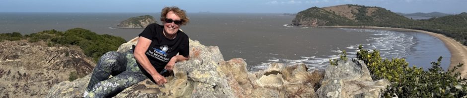
 15 July – 18 August – About 6 months ago, an acquaintance (when he heard I was going to Sarawak for the International Show Caves Conference) suggested that I climb Mt Kinabalu whilst I was there. He said that I’d probably only have to climb 1,000m and I thought, “that’s not too bad, that’s all you climb from the Kowmung to Kanangra Walls”. So, I decided that Mt Kinabalu sounded like a great idea.
 About Adventures with M
There’s nothing glamorous about bushwalking, caving or canyoning, but it sure is fun! If you’re an armchair bushwalker, someone looking for new adventures, or one of my friends who just wants to see what I’ve been up to, this site is for you, sign up to get email alerts now!
Categories
Archives